Downstream Flooding
Dated: 1st January 2025
Flood alert for Lower River Rother
https://check-for-flooding.service.gov.uk/target-area/123WAF967
River levels are still rising in response to heavy rainfall overnight and early this morning. Flooding remains possible today, Wednesday 01/01/2025. Areas most at risk include River Rother and its tributaries from Renishaw to Rotherham. The Ochre Dyke is a tributary to the river Rother.
Historic Downstream Flooding
In November 2019 the small Yorkshire village of Fishlake gained national notoriety as the Rivers, Rother, Loxley, Sheaf and Don Catchment, swollen by unprecedented rainfall, overtopped the flooded a huge swathe of land including more than 170 homes and businesses in Fishlake.
The residents of Fishlake decided to document their experiences in the form of a book. The book was created at the same time as those working on it navigated their way through the maze of insurance claims and juggled the often-extensive repair work to their homes and business.
With over 85 stories and articles presented alongside 350 photos this book tells the full story of the flood: the personal experiences of the residents and businesses affected, the reasons for the flooding, the contributions of those who came to their aid and the royal and political figures who visited.
Why did Fishlake flood
One of the main reasons for downstream flooding is the removal of upstream nature-based solutions. The deforestation and destruction of natural upstream flood defences to make way for property development, this practice has been relentless, both in Chesterfield, Sheffield, and Rotherham. This video https://www.ecological-owlthorpe.org/Water.mp4 was taken in Owlthorpe; it shows the water retention that helps stop downstream flooding.
Flooding in Sheffield
2007: On 25 June, Sheffield suffered extensive damage as the River Don over-topped its banks, causing widespread flooding in the Don Valley area of the city. A 14-year-old boy was swept away by the swollen River Sheaf[3] and a 68-year-old man died after attempting to cross a flooded road in Sheffield city centre.[4] The Meadowhall shopping centre was closed due to flooding with some shops remaining closed downstairs until late September and Sheffield Wednesday's ground Hillsborough was under 6 feet (1.83 m) of water. A number of people had to be rescued by RAF helicopters from buildings in the Brightside area.
In the flood book, on page 120 to page 131 describes: “How did we flood? On page 122 there is an excellent graphic which shows the River Don Catchment. There is also on page 123 an explanation regarding Tidal Flows on the River Don which ebbs and flows twice a day. The river can rise by approximately 5ft. But as the flood warden explained earlier. The rainfall in Sheffield was in the river and heading our way. The high tide had come and gone.” (It was not the sea that caused the flooding in Fishlake.)
On page 125 comparisons between: “The two biggest recorded floods in recent years in the Don catchment have occurred in June 2007 and November 2019. Analysis has shown that the events were remarkably similar. The impacts of the two floods were different, however in 2007, over 1000 properties and businesses in Sheffield were flooded and, sadly, there were two fatalities, in the intervening period significant investment in new flood defences has been made which proved successful in protecting large areas of Sheffield from flooding in 2019.
25 Jan 2018 — A £21 million flood defense scheme to better protect hundreds of businesses in Sheffield's Lower Don Valley has opened today (Thursday 25 January 2018). Insurance companies had been hit hard by the Sheffield floods of 2007 and were happy to see the new flood defense wall, but they also realized the potential for more flooding downstream and subsequently rearranged their policies for residents living downstream. This is why many residents of Fishlake have had problems with insurance claims.
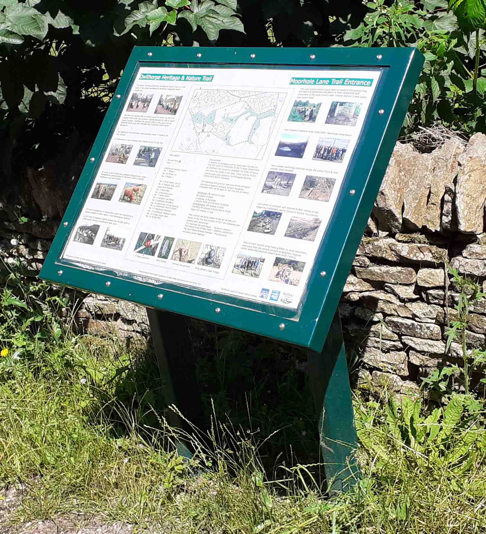
Welcome to our on-line Visitor's Guide to Friends of Ecological Owlthorpe
https://www.google.com/maps/d/edit?mid=1lwtfjfKz-AlkYqibuM-mQgx1Qk_bDz4&ll=53.33704292646182%2C-1.3793755729763801&z=15 The numbers below show points of interest regarding downstream flooding.
(Number 19) Deforestation Site E, (Number 15) SUDS system, (Number45) Video of Water https://www.ecological-owlthorpe.org/Water.mp4. Number (54) Pedestrian Underpass Flooding https://www.ecological-owlthorpe.org/MoothorpeGatepedestrianunderpassFlooding.mp4 (Number 41) https://www.ecological-owlthorpe.org/Ochredyke2.mp4 (Number 42) Beighton Flooding (Number 56) Cutcliffe Flooding (Number 43) Fishlake Flooding.
Thank you
Michael Meredith
Planning Objections to building on plot E Owlthorpe
Planning Objections to building on plot F Owlthorpe
Our project is now under threat from Sheffield City Council (LPA) who wish to build 150 new properties on (plot F) the Grassland & Grazing Project situated on Owlthorpe Heritage & Nature Trail, a major component of Ecological Owlthorpe.
We decided to take action and started a petition Please help our project by signing our petition to Sheffield City Council: https://chng.it/6vXHqcGG4S thank you to those who have signed. Please Shair with Friends and Family.
Thank you for your support
Michael Meredith